Radiosounding
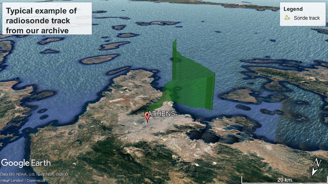
Radiosounding technique has been developed since 1930s for taking measurements of specific atmospheric parameters (pressure, temperature, humidity) at different atmospheric heights. Historically, the observation of radiosonde track, as it was raised in the atmosphere, was used for estimating wind at different heights. Nowadays, thanks to GPS technology, wind profile can be measured with great accuracy using modern radiosondes.
At DCA we have great experience in performing radiosoundings using most modern technical equipment and software tools. DCA offers its services to any interesting, in this kind of data, person or entity all over the world. We have developed a totally portable radiosounding system so we can move and perform measurements at, almost, any place on Earth!
Ozonesounding
Ozonesounding is a kind of radiosounding and is performed when we are interested in monitoring ozone concentration throughout the atmosphere, from ground to 30 km or even higher altitude.
For the needs of an ozonesounding a specialized sensor (ozonesonde) is attached on the radiosonde and they are released in the atmosphere.
More soundings
Modern equipment used by DCA offers the chance of combining extra sensors with radiosonde so profile of specialized parameters can be monitored.
Nowcasting
The progress in meteorological modeling has given the chance to pass from the forecasting to nowcasting!
What is the difference?
Nowcasting is a weather forecasting limited to a very short time period, up to 2 hours, and focused on mesoscale spatial coverage.
Spatial data analysis
Spatial data analysis refers to statistical tools and methods which are applied on spatial data in order to study and analyze them. In simple words, it is a modern "window" for contemplating "a valley of data"!
An example. Air pollution levels in a city can be correlated with the number of patients visiting hospitals by estimating the correlation coefficient between these two parameters. This is "classic" statistics. Usually, a city has a network for monitoring air pollution. How can spatial data of air pollution, recorded at different places of the city, be analyzed in connection with the locations of the residencies of the patients in order to be investigated which sections of the city are more harmful? By implementing Spatial Data Analysis!